Once reserved for aerospace and industrial use, digital twins are now essential tools for managing complex, dynamic public environments—from museums and stadiums to theme parks, tourist attractions, and convention centers.
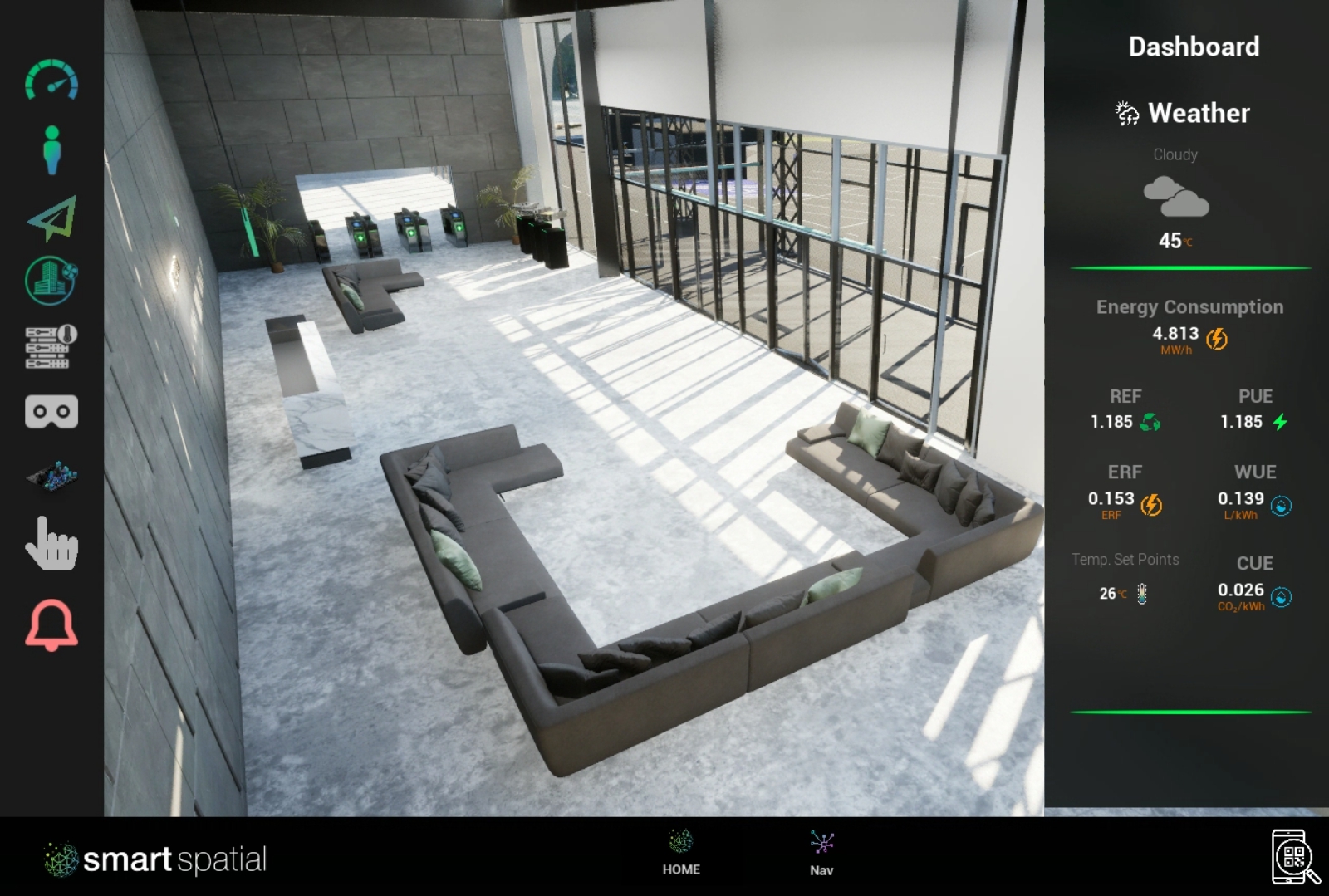
Smart Spatial is redefining what’s possible with an operational digital twin platform built for public spaces. It serves as a real-time, 3D/4D visualization layer that connects live data from your existing systems—video, IoT, building management, security—into a single, spatially aware digital environment.
This allows your teams to see, understand, and manage physical operations more effectively, without replacing infrastructure or overhauling workflows. With Smart Spatial, you gain operational awareness, system interoperability, and actionable insight, all in one unified interface.
What Is Smart Spatial?
Smart Spatial is an operational digital twin platform that turns physical environments into immersive, interactive replicas—integrated with live data, real-time video, sensor feedback, and control systems. It doesn't replace your existing tools; it complements them by acting as a visual intelligence layer, bringing clarity, context, and control across every touchpoint of your operation.
Through Smart Spatial, organizations unlock:
- Live 3D/4D spatial visualization
- Seamless system and sensor integration
- Contextual alerts and real-time supervision
- Collaborative maintenance, training, and sales tools
- AI-powered simulations and decision support
From Camera to Command Center: Augmented Spatial Awareness
Most venues already have security cameras, sensors, and building systems. Smart Spatial transforms that infrastructure into spatial intelligence, creating a unified view of your environment that is dynamic, actionable, and intuitive.
Capabilities include:
- Counting visitors by zone or activity
- Monitoring queues, wait times, and dwell patterns
- Detecting congestion, hazards, or unusual behavior
- Visualizing access points and restricted zones
- Replaying events using the built-in Time Machine
- Connecting live video feeds to physical asset locations
Smart Spatial adds a layer of operational awareness on top of your existing systems—enhancing performance without disruption.
Smart Spatial in Action: Sector-Specific Solutions
Museums and Cultural Institutions
Preserve the integrity of your exhibits while managing guest flow and safety.
- Track room-by-room occupancy in 3D
- Get real-time alerts for falls or suspicious activity
- Launch self-guided or remote digital tours
- Train docents and staff with virtual simulations
- Manage maintenance in spatial context
Outcome: Enhanced visitor experience, staff efficiency, and safety.
Amusement Parks and Tourist Attractions
Keep crowds moving and experiences seamless with real-time visibility and predictive insights.
- Monitor foot traffic and ride queues with live heatmaps
- Detect abandoned items or service disruptions
- Provide digital previews via immersive, self-guided tours
- Simulate operational changes before rollout
- Centralize staff coordination in a live digital interface
Outcome: Improved guest satisfaction and streamlined daily operations.
Stadiums and Event Venues
Use Smart Spatial to gain real-time control over crowd flow, safety, and service delivery during live events.
- Visualize crowd density in stands, entry gates, and concourses
- Receive alerts for bottlenecks or overflow conditions
- Coordinate security and guest services from a single view
- Provide digital walkthroughs for sponsors, vendors, or VIPs
- Integrate multiple subsystems (access, HVAC, video) into one map
Outcome: Real-time decision-making and enhanced crowd management.
Convention and Exhibition Centers
Optimize layout and flow for events with thousands of guests and hundreds of exhibitors.
- Map high-traffic zones and “hot spots” with analytics
- Adapt staffing and booth placement dynamically
- Allow exhibitors to preview and plan with self-guided 3D tours
- Track service needs and maintenance in real time
- Offer remote walkthroughs to clients and vendors
Outcome: More efficient events, higher ROI, and better attendee experiences.
Smart Spatial as a Visualization Layer
At its core, Smart Spatial is not a system replacement—it’s a visualization and intelligence layer that unifies, contextualizes, and enhances your existing tools. It:
- Ingests live data from cameras, IoT sensors, access systems, and infrastructure tools
- Displays them in a spatially intuitive 3D/4D environment
- Provides a single point of visibility across departments and disciplines
- Enables interoperability and coordination across previously siloed systems
The result is a comprehensive awareness platform that helps organizations respond faster, manage smarter, and plan better.
From Monitoring to Optimization
With Smart Spatial, teams can move beyond real-time monitoring and toward ongoing improvement.
- Analyze past events to identify trends and optimize layout
- Run simulations to test new workflows or traffic patterns
- Adjust staffing levels based on live or predicted attendance
- Centralize issue tracking and resolution with spatial work orders
- Use performance metrics and heatmaps to inform decisions
Smart Spatial empowers operations, maintenance, security, marketing, and training teams to work within one shared, spatially aligned interface.