Table of Contents
- Intro
- InfraWorks Overview
- OpenRoads Designer
- Tekla Structures
- CATIA Highlights
- Cyclone 3DR Features
- ArcGIS CityEngine
- Twinmotion Overview
- Conclusion
- FAQ
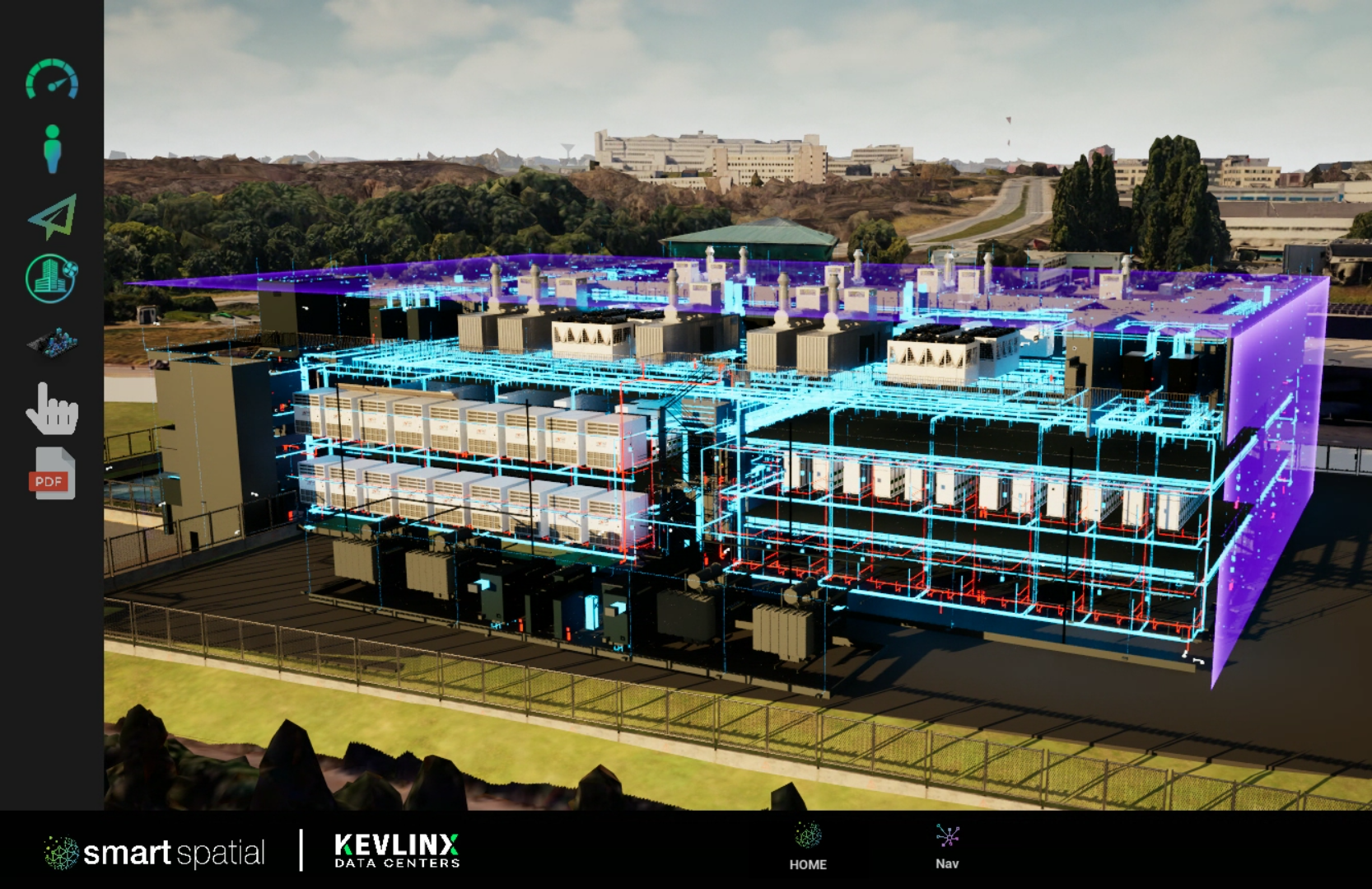
Selecting the right stack of visualization software for infrastructure and industrial work is less about glossy renders and more about context, data fidelity, and operational fit. This guide maps seven widely used tools against real decision points — model sources, geospatial scale, collaboration, and licensing — so technical leaders can align purchase and rollout. As a benchmark, Smart Spatial focuses on Operational Digital Twins that fuse high‑fidelity 3D with live telemetry to bridge design, construction, and operations, an approach that informs the comparisons below.
This article reviews visualization software in the context of planning, build, and ongoing operations.
InfraWorks Overview
Autodesk InfraWorks supports concept‑to‑preliminary design workflows for civil projects, letting teams model, analyze, and visualize infrastructure in context of the built and natural environment. It’s commonly used by civil engineers, designers, urban planners, and surveyors during planning and early design. InfraWorks also plays well in BIM‑plus‑GIS scenarios, where location intelligence is merged with design data to improve infrastructure decisions.
3D Mapping at Scale
For corridor studies, terrain synthesis, and network options, InfraWorks scales to regional datasets and combines them with engineering models — useful when you need authoritative 3d mapping before detailed design commits. When your team transitions from concept to operations, consolidating SCADA/CMMS views into a single Operations work surface — one 3D view, live data ingestion, and a single source of truth — keeps continuity.
OpenRoads Designer
Bentley’s OpenRoads Designer is an end‑to‑end roadway design application that unifies surveying, terrain, corridors, drainage, and subsurface utilities in one platform. It supersedes legacy Bentley civil tools (InRoads, GEOPAK, MX, PowerCivil) and is used across all phases of civil projects, from concept through construction documentation. For asset owners and EPCs standardizing on Bentley’s ecosystem, that single‑application scope reduces handoffs and preserves model intent into downstream deliverables.
Tekla Structures
Trimble’s Tekla Structures is a structural BIM workhorse favored for constructible, information‑rich models across steel, concrete, and mixed materials. Teams build, combine, and share accurate models to drive fabrication and coordination.
Data‑Rich 3D Objects
Tekla supports exporting to IFC, buildingSMART’s open standard, so data‑rich 3d objects can interoperate across platforms while native .tekla models retain tool‑specific detail and behaviors.
Table 1. IFC vs Native (conceptual)
When models are promotion‑ready, repurpose them for guided or self‑guided virtual tours to support go‑to‑market work.
CATIA Highlights
Dassault Systèmes’ CATIA spans complex product design, engineering, and multi‑discipline systems work. It’s used to imagine, design, and simulate products and systems, with a strong footprint in sectors that value high surface quality and mechatronic/system integration.
CATIA’s strengths are overkill for some AEC teams, but in industrial facilities with advanced equipment integration, its systems‑engineering toolset can de‑risk interface design before commissioning.
Cyclone 3DR Features
Leica Cyclone 3DR is an all‑in‑one environment that turns point clouds into meshed, editable models and actionable deliverables; it supports textured mesh creation and export for downstream workflows.
3D Model Viewer
Cyclone 3DR outputs can be viewed alongside upstream scan data, and published to compatible viewers for stakeholder access — useful when QA/inspection needs quick validation in a 3d model viewer without the full authoring tool.
ArcGIS CityEngine
Esri’s ArcGIS CityEngine uses a procedural, rule‑based approach to create large‑scale urban models efficiently, then exports those models to game engines and immersive environments for simulation and stakeholder review.
Immersive 3D View
For masterplans, utilities planning, and right‑of‑way studies, CityEngine’s procedural tooling gives planners an immersive 3d view of scenarios with consistent rule application. When models transition to workforce skills, simulation‑driven onboarding and failure drills reinforce spatial awareness in operational contexts.
Twinmotion — Best 3D Architectural Visualisation Software
For rapid design communication, Twinmotion pairs real‑time rendering with one‑click connections to major BIM/CAD apps and, for many teams, is the best 3d architectural visualisation software to accelerate stakeholder alignment without specialist skills. It’s also bundled for many Revit subscribers via Twinmotion for Revit, tightening the loop between authoring and visualization.
Rapid 3D Modelling
Direct link from Revit, Archicad, SketchUp.
- Real‑time 3d modeling with easy materials.
- Fast stills, animations, and VR walkthroughs.
- Cloud sharing options for reviews.
- Fits sales demos and bid visuals.
Licensing & ROI
Twinmotion licensing is straightforward post‑2024 updates: free for students, educators, hobbyists, and companies under $1 M annual revenue, with seat‑based options for larger firms; Twinmotion for Revit is included with eligible Revit subscriptions.
Table 2. Cost vs Adoption (summary)
Conclusion
Each tool above excels in a specific band: InfraWorks for early civil context, OpenRoads for detailed roadway design, Tekla for constructible structures, CATIA for complex systems, Cyclone 3DR for scan‑to‑model deliverables, CityEngine for urban‑scale scenarios, and Twinmotion for fast stakeholder‑ready outputs. To carry those models into live operations, Smart Spatial’s Operational Digital Twins provide a single 3D pane of glass with data‑driven workflows across supervision, maintenance, collaboration, and training.

